
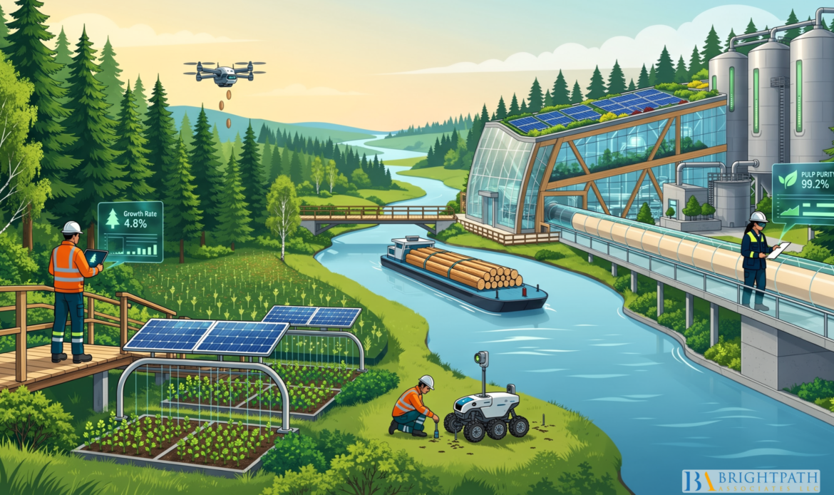
The Convergence of Tech and Nature: New Paradigm for 2030 Operations for Environmental Services Industry is not about replacing field science with software. It is about building an operating system where ecological knowledge, field crews, sensors, remote sensing, and executive judgment work together. For U.S. #EnvironmentalServices firms, municipalities, utilities, and restoration contractors, that shift changes how work is monitored, priced, staffed, documented, and governed.
A hard truth sits behind the opportunity: more data does not automatically create better environmental decisions. A satellite image may flag vegetation stress. An Internet of Things (IoT) sensor may show a sudden water-quality change. An AI model may predict erosion risk. None of those outputs, by themselves, establish why the change occurred, whether it is material, or what intervention will improve the result. The organizations prepared for 2030 will connect data to ecological expertise, operational accountability, and defensible evidence.
Table Of Contents
• The 2030 Environmental Operations Model
• Building A Sensor-To-Decision System
• Choosing The Right Level Of Technology
• Leadership And Workforce Implications
• Key Takeaways
• Frequently Asked Questions
The 2030 Environmental Operations Model
Technology Should Extend Ecological Judgment
Environmental innovation works best when technology strengthens the ability to observe, test, and act on ecological conditions. It works poorly when it becomes a substitute for those steps. The practical goal is an evidence chain: collect observations, validate them, interpret the environmental condition, select an intervention, document the result, and adjust the plan when conditions change.
This model matters across water treatment, air pollution control, environmental compliance, habitat restoration, watershed management, brownfield work, and resource recovery. A wastewater operator may use continuous sensors to detect turbidity or nutrient changes. A restoration manager may use drones and field plots to identify invasive species. A coastal-services team may combine terrain data with water-level information to assess erosion. The tools vary, but the management question remains the same: what decision does this information improve?
The University of Valencia’s ecoNET Lab explains that ecosystem digital twins can combine satellite, UAS, IoT, and LiDAR data for descriptive, predictive, and prescriptive ecosystem analysis. That distinction is useful for executives. Descriptive tools explain what has happened. Predictive tools estimate what may happen next. Prescriptive tools compare possible actions. Each requires a higher level of model discipline and human review.
A Digital Twin Is Not Just A Better Dashboard
A geographic information system dashboard can organize maps, permits, inspection records, and asset locations. That may be enough for many operations. An ecosystem digital twin adds a dynamic model that connects observations to environmental processes and tests potential scenarios.
For example, a GIS dashboard may show where streambank vegetation has changed. A digital twin could combine terrain, flow conditions, vegetation structure, and hydrodynamic assumptions to compare whether selective vegetation management, full clearing, or restoration is likely to create different erosion and conveyance outcomes.
A 2026 Scientific Reports study provides a practical example. Its river-reach digital-twin approach used UAV sensing, AI segmentation, and hydrodynamic modeling to compare vegetation-management scenarios. The study is not a universal rule for river operations. It does, however, show why scenario testing can be more valuable than a simple map when engineering and ecological objectives conflict.
A twin may be justified when an #OrganizationManages costly assets, faces recurring climate exposure, must demonstrate environmental outcomes, or needs to compare interventions over time. It is less justified when the decision is infrequent, the ecosystem is poorly characterized, or a focused field survey will answer the question more reliably and at lower cost.
Nature-Based Solutions Need Operating Metrics
Nature-based solutions can support flood reduction, erosion management, water quality, habitat condition, heat reduction, and carbon-related goals. Still, they should not be evaluated only through broad sustainability language. They need operational measures that can be tracked beside engineering and financial outcomes.
| Decision Area | Ecological Measure | Operational Measure | Executive Question |
|---|---|---|---|
| Stream restoration | Habitat condition and bank vegetation | Erosion exposure and maintenance burden | Does the intervention reduce long-term risk? |
| Stormwater management | Infiltration, vegetation health, water quality | Peak-flow reduction and service interruptions | Does performance hold across storms and seasons? |
| Coastal protection | Dune condition and habitat resilience | Asset exposure and repair requirements | Which option manages risk with acceptable upkeep? |
| Urban greening | Canopy health and heat reduction | Irrigation needs and maintenance cost | Can benefits be maintained at scale? |
The #WorldIntellectualPropertyOrganization notes that ecosystem restoration increasingly combines remote sensing, AI, digital twins, and nature-based practices, while requiring governance and community engagement. That final condition deserves attention. A technically elegant model can still fail if local land users, residents, tribal communities, regulators, or field staff do not understand how observations are collected and how decisions are made.
Building A Sensor-To-Decision System
Start With The Decision, Not The Device
Environmental services leaders often face vendor demonstrations that begin with the technology: sensors, drones, AI analytics, dashboards, or automated reporting. A stronger approach begins with a decision that is currently slow, costly, uncertain, or difficult to defend.
Consider a utility that experiences recurring algae-related water-quality concerns. Before buying equipment, leadership should define the decision: whether to change intake operations, increase sampling, modify treatment steps, or issue a preventive alert. That decision determines what data must be collected, how quickly it must arrive, who can act on it, and what threshold triggers escalation.
A practical implementation sequence includes:
- Define the environmental, compliance, or asset-risk decision the system must improve.
- Identify the minimum evidence needed to support that decision.
- Select field measurements, remote observations, and records that can supply the evidence.
- Establish validation rules before using AI outputs in operations or reporting.
- Assign an accountable human reviewer for exceptions, uncertainty, and high-impact actions.
- Measure whether the system improves response time, documentation quality, lifecycle cost, or environmental performance.
Data Quality Is An Operating Control
Environmental AI is only as credible as the observations behind it. In ecological operations, the main risks are not merely technical. They include sensors drifting out of calibration, images collected under different seasonal conditions, missing data during storms, inconsistent field notes, and models trained on conditions that no longer apply.
A defensible system needs explicit quality gates:
• Calibration: Confirm that field sensors remain within acceptable operating ranges.
• Temporal alignment: Make sure satellite, drone, sensor, and field observations represent comparable conditions.
• Ground truthing: Verify remote classifications with site-level observations.
• Provenance: Record where data came from, when it was captured, how it was processed, and who approved it.
• Uncertainty scoring: Show confidence ranges rather than treating every model output as equally certain.
• Escalation rules: Require expert review when results exceed defined thresholds or conflict with field evidence.
Fair warning: ecological uncertainty cannot be eliminated. Seasonal change, extreme weather, wildlife movement, and changing land use are real conditions, not data errors. The goal is to make uncertainty visible enough that leaders do not confuse a model estimate with a verified fact.
Evidence Must Survive Scrutiny
Environmental compliance and permitting create an additional test. If an AI-assisted system informs a report, inspection response, mitigation claim, or investment decision, the organization should be able to explain the chain from raw observation to final conclusion.
That means retaining source files, data dictionaries, model versions, validation records, field confirmations, and decision logs. It also means separating automated detection from human determination. An algorithm can flag a potential discharge anomaly or vegetation change. A qualified person should determine whether the finding is valid, material, and reportable.
This is where clean technology and environmental compliance meet governance. The strongest system is not the one that automates the most steps. It is the one that makes each important decision easier to verify.
Choosing The Right Level Of Technology
Match The Tool To The Operating Question
Not every environmental problem needs continuous monitoring or digital-twin modeling. The appropriate tool depends on geographic scale, frequency of change, consequence of failure, regulatory expectations, and the cost of delayed action.
| Tool | Best Fit | When To Avoid Overreliance |
|---|---|---|
| Periodic field surveys | Site-specific habitat, compliance checks, and physical sampling | When conditions change too quickly between visits |
| Satellite imagery | Large areas, repeated regional observation, forest or watershed change | When cloud cover, resolution, or timing limits the question |
| Drones and UAS | Detailed inspection of defined sites, structures, vegetation, or erosion | When flight restrictions, weather, or repeatability constrain use |
| IoT sensor networks | Continuous water, air, temperature, flow, or asset-condition monitoring | When maintenance, power, connectivity, or calibration cannot be sustained |
| Digital twins | Scenario testing where ecological and engineering trade-offs are material | When the model lacks sufficient baseline data or a simpler method answers the question |
The European Space Agency reports that Earth-observation and AI services are being applied to dunes, forests, river basins, water resources, storm damage, and biodiversity-related management. For U.S. executives, the lesson is not that every operation should adopt the full toolset. It is that remote sensing is becoming a credible input to many environmental-service workflows when paired with field validation.
Avoid Vendor Lock-In Before It Starts
Environmental data often outlives a single software contract. A wetland restoration project may require monitoring for years. Utility assets may be managed for decades. A firm that cannot export raw data, metadata, model outputs, and annotations may face expensive disruption when it changes vendors.
Procurement teams should ask direct questions before signing:
• Can the organization export data in documented, usable formats?
• Are application programming interfaces available for integration with GIS, laboratory, asset, and compliance systems?
• Who owns the raw data, derived data, model configurations, and annotations?
• Can the system preserve audit trails after a contract ends?
• What cybersecurity controls protect operational and location-sensitive information?
• Can a new provider reproduce the reporting workflow without rebuilding the entire history?
Interoperability is not an IT detail. It affects operational continuity, compliance evidence, and enterprise value.
Pilot For Learning, Not For Theater
A useful pilot has a narrow decision, a baseline, a defined owner, and a stop condition. It does not need to prove that AI is transformative. It needs to show whether a specific workflow becomes more reliable, more timely, or more defensible.
For instance, a stormwater operator could test whether sensor and rainfall data identify inspection priorities earlier than the existing schedule. The baseline might be the current inspection cycle, response time, and number of confirmed issues. If the pilot produces excessive false alerts or adds work without improving outcomes, leadership should revise the design or stop it.
This disciplined approach also applies to advanced technologies for resource recovery. New recovery systems need operational leadership that can connect process data, safety requirements, feedstock variability, maintenance planning, and commercial results. Technology alone does not resolve those #ManagementDemands.
Leadership And Workforce Implications
The Executive Role Is Becoming More Integrative
By 2030, environmental-services leaders may be asked to make decisions across ecology, engineering, compliance, data governance, capital planning, and stakeholder communication. Few executives will be deep specialists in every domain. The more realistic requirement is the ability to lead across them without treating one discipline as secondary.
A chief operating officer may need to understand the difference between an early warning signal and a compliance finding. A chief executive may need to evaluate whether a digital-monitoring investment supports margin, risk reduction, client requirements, or all three. A sustainability leader may need to translate ecosystem-service outcomes into terms that investors, regulators, and communities can assess.
This aligns with the broader discussion of the future of environmental leadership through sustainability: leadership capacity now includes the ability to connect environmental performance to operational execution rather than treating sustainability as a separate reporting function.
Specialized Hiring Requires Better Role Design
The difficult part of environmental executive hiring is often not candidate availability alone. It is role ambiguity. An organization may ask for a leader who can run complex field operations, sell consulting services, interpret regulatory requirements, build digital capabilities, and manage investor expectations. That combination may exist, but it is not common.
Before beginning an environmental executive search, boards and leadership teams should decide which capabilities are essential on day one and which can be supported by the broader leadership team. A clear scorecard can separate requirements into three groups:
| Capability Type | Examples | Hiring Priority |
|---|---|---|
| Essential at entry | Safety leadership, environmental compliance judgment, P&L accountability | Nonnegotiable |
| Important but developable | AI literacy, digital product exposure, ecosystem-service valuation | Assess learning capacity |
| Better supplied by team | Deep modeling expertise, sensor engineering, specialized legal analysis | Build through advisors or functional leaders |
This approach can reduce the risk of designing an impossible role. It also gives candidates a clearer view of authority, resources, and #PerformanceExpectations.
A Vacancy Can Become An Operating Risk
Prolonged leadership vacancies can delay capital decisions, weaken client confidence, slow permitting responses, and leave field teams without clear priorities. The exposure may be especially high when an organization is scaling a new environmental technology, integrating an acquisition, responding to compliance pressure, or managing a complex remediation or water-treatment project.
That does not mean every vacancy requires a retained search. Some roles can be filled through internal succession, interim leadership, or targeted direct recruitment. Executive search is most useful when the role is confidential, highly specialized, business-critical, geographically constrained, or unlikely to attract the right candidates through public postings alone.
Hiring leaders should also examine trends in environmental services hiring in the context of their own operating model. A company pursuing sensor-enabled water treatment may need a different leadership profile than a firm focused on hazardous-waste logistics or air-pollution control. The title may look similar; the actual work is not.
Key Takeaways
What Executives Should Reconsider Now
• Treat technology as part of an environmental operating system. Sensors, AI, remote sensing, and digital twins should improve specific decisions, not simply produce more data.
• Use digital twins selectively. They are most valuable when leaders must compare high-consequence ecological and engineering trade-offs over time.
• Build quality gates before scaling automation. Calibration, ground truthing, provenance, uncertainty scoring, and human approval are core controls.
• Measure nature-based solutions against operational outcomes. Track maintenance, resilience, water quality, erosion, conveyance, habitat condition, and lifecycle cost where relevant.
• Design leadership roles around real priorities. Do not assume one executive can carry every operational, technical, commercial, and regulatory capability.
• Protect data portability. Vendor contracts should address ownership, exports, metadata, audit trails, integration, and cybersecurity from the start.
The central management challenge is straightforward: technology can increase the speed and scale of environmental observation, but it does not remove the need for accountable leadership. The firms that perform well through 2030 are likely to be those that combine green technology with #EcologicalDiscipline, transparent governance, and capable operators.
Frequently Asked Questions
What Does The Convergence Of Technology And Nature Mean For Environmental Services Operations?
It means using tools such as AI, IoT sensors, drones, satellite data, LiDAR, and digital monitoring to improve how organizations protect, restore, measure, and manage natural systems. The purpose is not to automate ecology. It is to combine broader observation with field expertise and accountable action.
How Does An Ecosystem Digital Twin Differ From A GIS Dashboard?
A GIS dashboard organizes spatial information and operational records. A digital twin adds dynamic data and models that can test how an ecosystem may respond under different conditions or interventions. Use a twin when scenario testing could materially improve a decision; use GIS when mapping, coordination, and reporting are sufficient.
When Should An Organization Use Satellites, Drones, IoT Sensors, Or Field Surveys?
Use satellites for repeated observation across large areas, drones for detailed site-level imagery, IoT for continuous conditions such as flow or air quality, and field surveys for direct verification. Most complex #EnvironmentalPrograms need a mix. The right combination depends on the decision, scale, risk, and ability to maintain the system.
Can AI Outputs Be Used In Environmental Compliance Documentation?
They can support documentation, screening, prioritization, and analysis, but organizations should not treat an AI output as self-validating evidence. Maintain the underlying records, validation steps, model version, reviewer decisions, and field confirmation where appropriate. Regulatory acceptance can vary by agency, permit, and application.
What Are The Biggest Risks Of Automated Ecological Monitoring?
Common risks include sensor drift, missing data, false positives, false negatives, seasonal bias, model drift, weak ground validation, and unclear accountability. A system can appear precise while being wrong about the condition that matters. Human review and uncertainty reporting reduce, but do not eliminate, these risks.
How Can Municipalities And Utilities Justify Investment In Environmental Technology?
Start with a measurable operating problem: compliance exposure, delayed inspections, asset risk, treatment instability, storm response, or recurring maintenance cost. Compare the proposed system against the existing process, define success metrics, and run a controlled pilot. The investment case should rest on better decisions and verified outcomes, not novelty.
What Leadership Skills Will Environmental Services Firms Need By 2030?
Organizations will need leaders who can integrate environmental science, operations, finance, compliance, data governance, workforce planning, and stakeholder communication. They do not need to be experts in every technical domain, but they must know how to ask disciplined questions, assign accountable owners, and interpret uncertainty.
How Should Community Knowledge Be Included In Digital Environmental Systems?
Organizations should create clear channels for local observations, explain what data is collected and why, document how input informs decisions, and protect sensitive information. Community participation is especially relevant when projects affect land use, water access, cultural resources, public health, or local livelihoods.
Resources And Citations
• University of Valencia ecoNET Lab — Digital solutions for ecosystems
• World Intellectual Property Organization — Solutions for restoring climate-impacted ecosystems
• European Space Agency Space Solutions — Environmental Resource Management
• Scientific Reports — AI-driven digital twinning quantifies the trade-off between
• BrightPath Associates resource: Trends in Environmental Services Hiring is referenced above as part of the discussion of environmental leadership and workforce planning.
Find your next leadership role in Environmental Services Industry today!
Stay informed with the latest insights on Environmental Services Industry!